Day Hikes and Walks
For those who are short on time or simply looking for a less strenuous way to explore the natural beauty of the Margaret River Region, day hikes and walks offer the perfect solution.

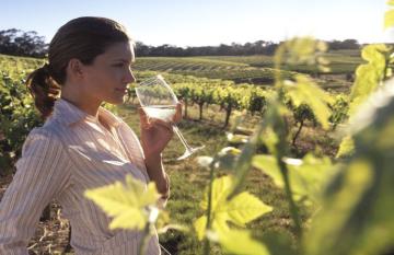
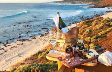
Nestled in the heart of Western Australia, the Margaret River Region is the perfect destination for those who love the great outdoors. Whether you're a seasoned hiker or looking to dip your toes into the world of trekking, the Margaret River Region offers an array of trails catering to all levels of expertise.
Navigate the abundant national parks and reserves of Margaret River. Let us lead you to the ideal trail, ensuring an unforgettable adventure in this stunning region. Gear up and read on!
For those who are short on time or simply looking for a less strenuous way to explore the natural beauty of the Margaret River Region, day hikes and walks offer the perfect solution.
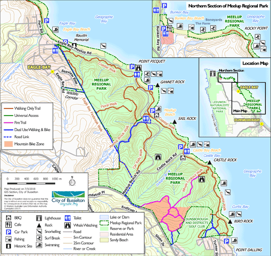
If you're looking for a hike that combines sandy beaches with the native bushland, look no further than the Meelup Reserve Trail. Situated along the stunning coastline of Geographe Bay, this trail offers a relaxed hiking experience, making it perfect for families or those new to hiking.
The Meelup Reserve Trail is a relatively short hike, covering about 7km each way. Most hikers complete the trail in about 3-4 hours, making it a great half-day adventure.
Easy to Moderate - The trail is well-maintained with clear signage, consisting mainly of flat paths and gentle slopes. It's a hike that all age groups, including children, can enjoy.
The trail starts just off Hurford Street in Old Dunsborough where the Meelup Nature Reserve begins.
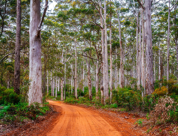
For those who crave a hiking experience that feels like stepping into a fairy tale, the Boranup Forest Loop is it. Located within Leeuwin-Naturaliste National Park, this trail takes you through the towering Karri trees, some of which reach heights of up to 60 metres.
The Boranup Forest Loop covers about 5km. It's a quick hike, which can be done in about 1.5 hours, making it perfect for those looking to add a short but memorable adventure to their day.
Easy - The trail is not marked but easy to follow, making it suitable for hikers of all ages and skill levels, including families with young children.
The Boranup Forest is located about a 25-minute drive south of Margaret River. You can park along Boranup Drive.
Ten Mile Brook Trail takes you out to Ten Mile Brook Dam, named after the tiny brook that was dammed in the mid-1990s to create a new supply of water for the town. Don’t feel up for hiking? The trail is a combination of earth and coarse gravel, so you can also jump on a bike and cycle your way through.
The Ten Mile Brook Trail is a moderate-length hike, covering around 15.8km. The trail can be completed in 3-4 hours (on foot), depending on whether you stop off along the way.
Moderate to Challenging - Tracks may have short steep hill sections, a rough surface and many steps.
The Ten Mile Brook Trail starts in the Rotary Park near "Old Kate", a preserved steam engine at the northern edge of Margaret River.
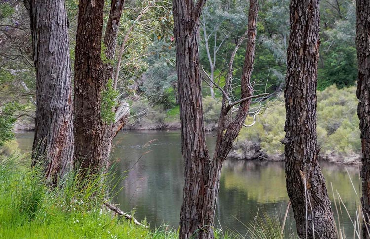
At 270km long, Blackwood River is Western Australia’s longest continually flowing river, which makes it a great hike to see some of the region. The Blackwood River Loop follows the river and is a beautiful walk, especially during spring when the surrounding area is nice and green and the river is flowing strongly.
The Blackwood River Loop is an easy hike, covering a distance of about 6km. You can complete the loop in 1 to 2 hours, making it a great option for a day hike.
Easy - Flat, even surface with no steps or steep sections. Suitable for all ages and abilities, including wheelchair users who have someone to assist them.
Blackwood River Loop is just a short walk from Bridgetown town centre. Find the start at Bridgetown River Park near the bridge.
If you’re looking to turn your trip away into a real adventure, then take on a multi-day hike around the region. It’s the best way to really immerse yourself in nature and see what’s on offer.
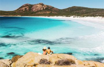
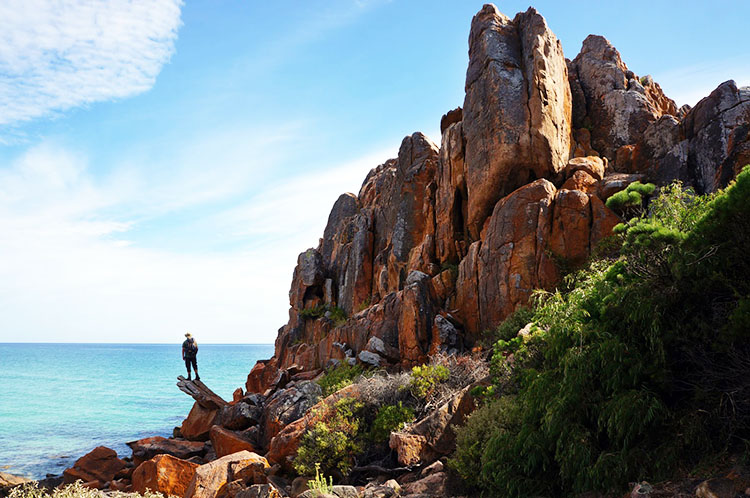
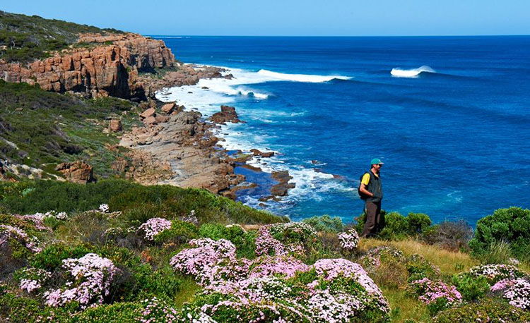
One of Western Australia's most well-known trails, the Cape to Cape Track offers an incredible hiking experience that takes you through the very heart of the Margaret River Region. This trail stretches from the lighthouse at Cape Naturaliste to Cape Leeuwin, offering a taste of everything from rugged coastal cliffs to tranquil forested areas.
Spanning 123km, the Cape to Cape Track is ideally completed over 5 to 8 days, allowing you plenty of time to soak in the natural beauty. It’s the longest coastal walk in Australia, so lace up those hiking boots and get ready!
Moderate to Challenging - The trail is well-marked but varies in terrain, including sandy beaches, rocky outcrops, and forest paths. Suitable for those with a good level of fitness and some hiking experience.
Start at Cape Naturaliste Lighthouse, which is easily accessible, just a 30-minute drive from the town of Margaret River.
Before you set off on your hiking adventure in the Margaret River Region, it's important to be well-prepared to ensure a safe and enjoyable experience. From permits to gear, here's what you need to know to make the most of your trip.
The Margaret River Region offers a diverse array of trails that cater to all levels of experience and interest. Whether you're a seasoned hiker looking to conquer new terrains or a beginner eager to explore the great outdoors, the trails in this stunning region promise an unforgettable experience.


RELATED
TOURS
The price is based on current exchange rates but is only an approximation. Please contact us for a final price